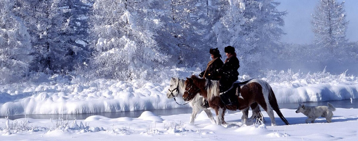
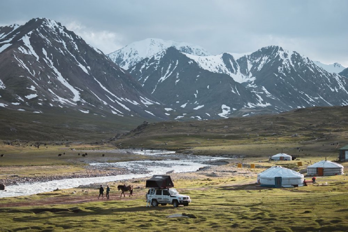
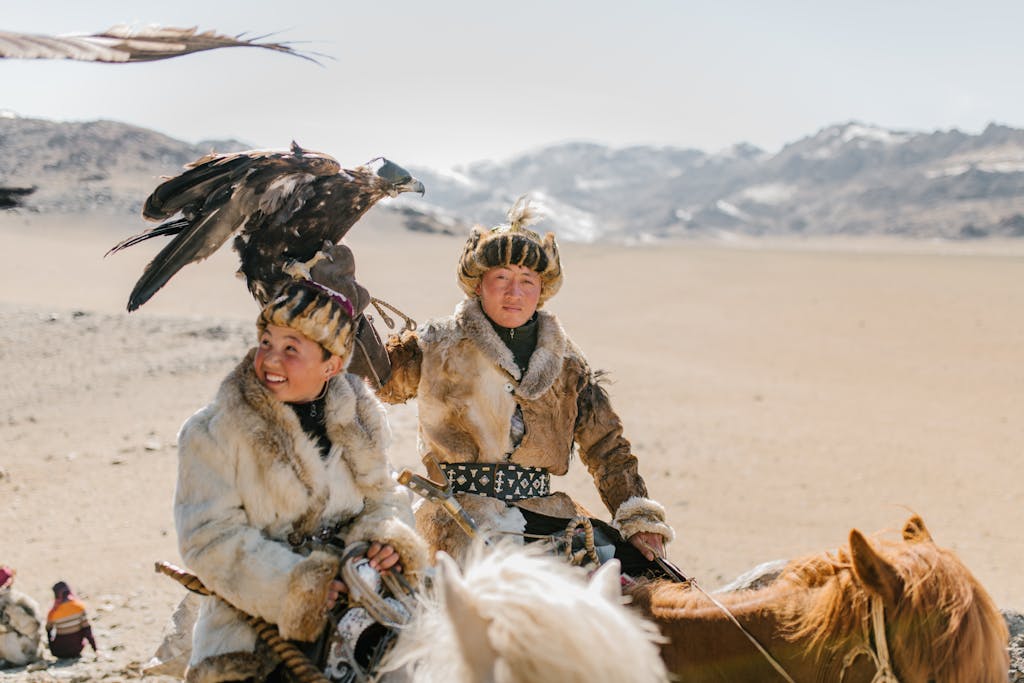
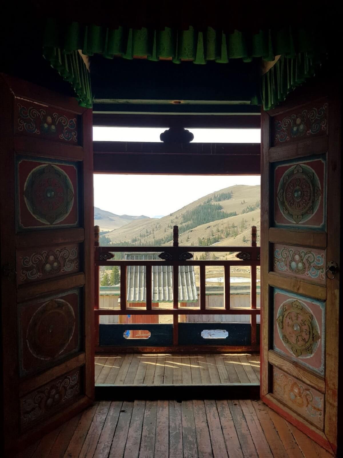
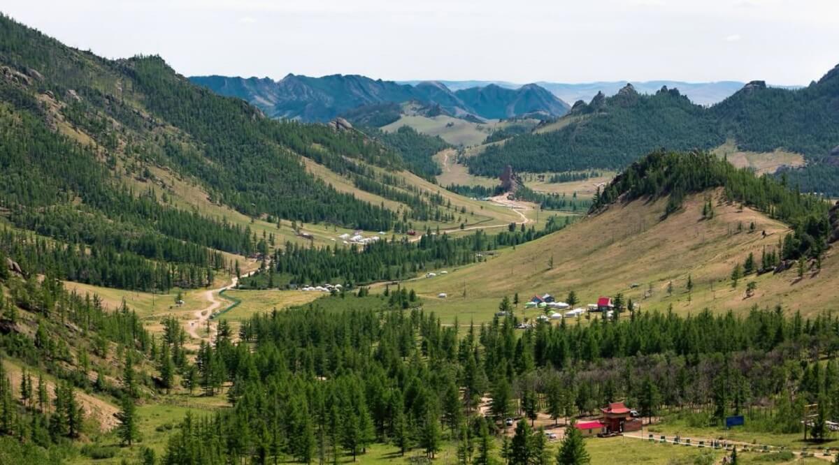
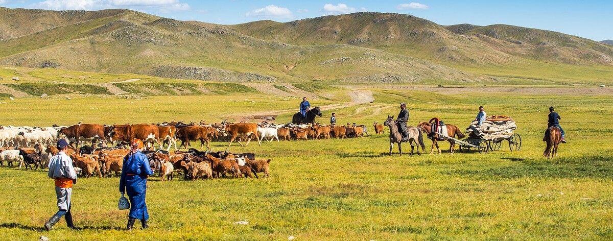
Mongolia, a land where vast expanses of rolling steppe meet rugged mountain ranges, is a tapestry of natural wonders and diverse cultures.
There are 21 provinces in total. Let’s embark on a journey through the enchanting Mongolian provinces, each offering a unique blend of tradition, geography, and charm.
Arkhangai
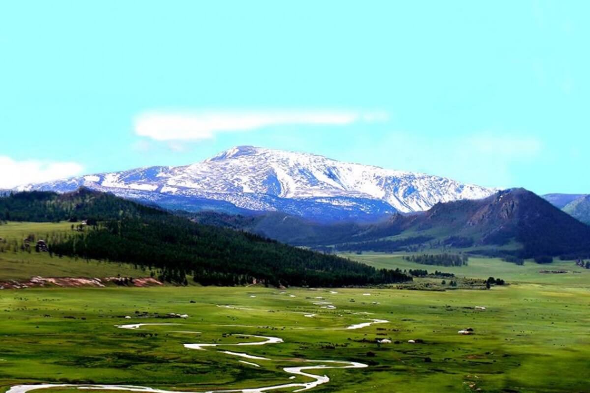
Next on our odyssey is Arkhangai, a province where rivers carve through rugged terrain.
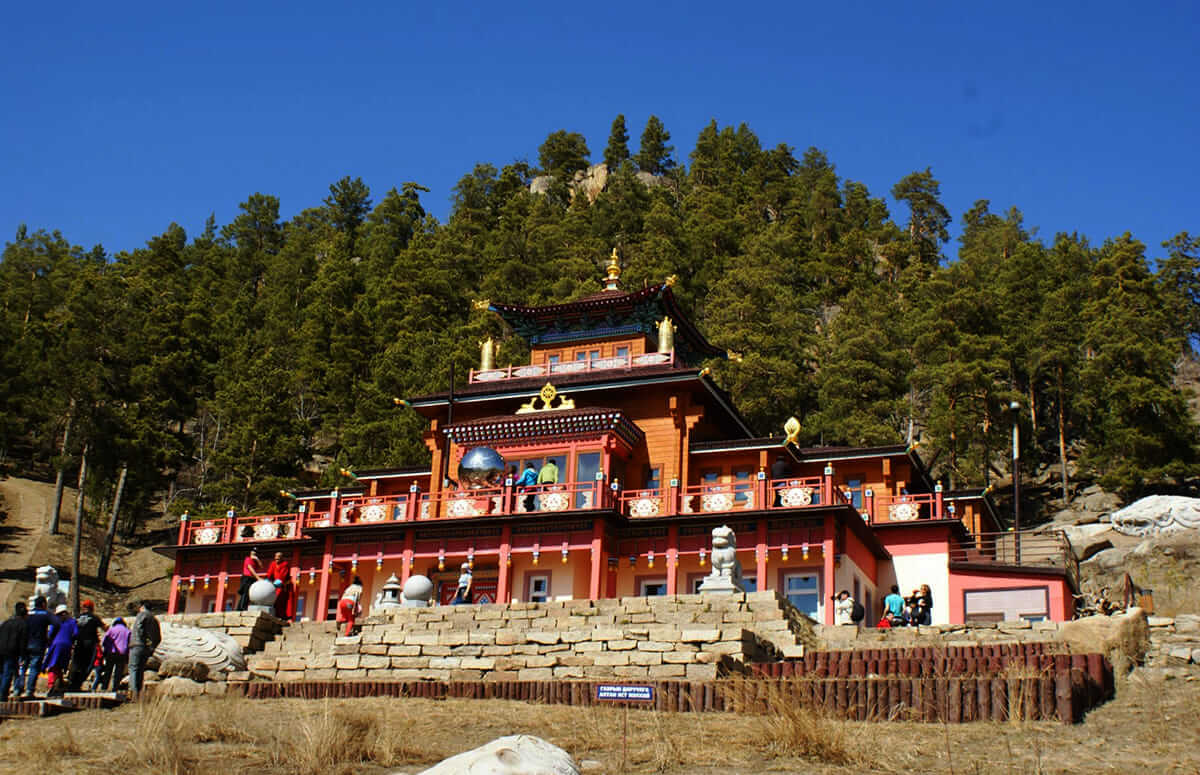
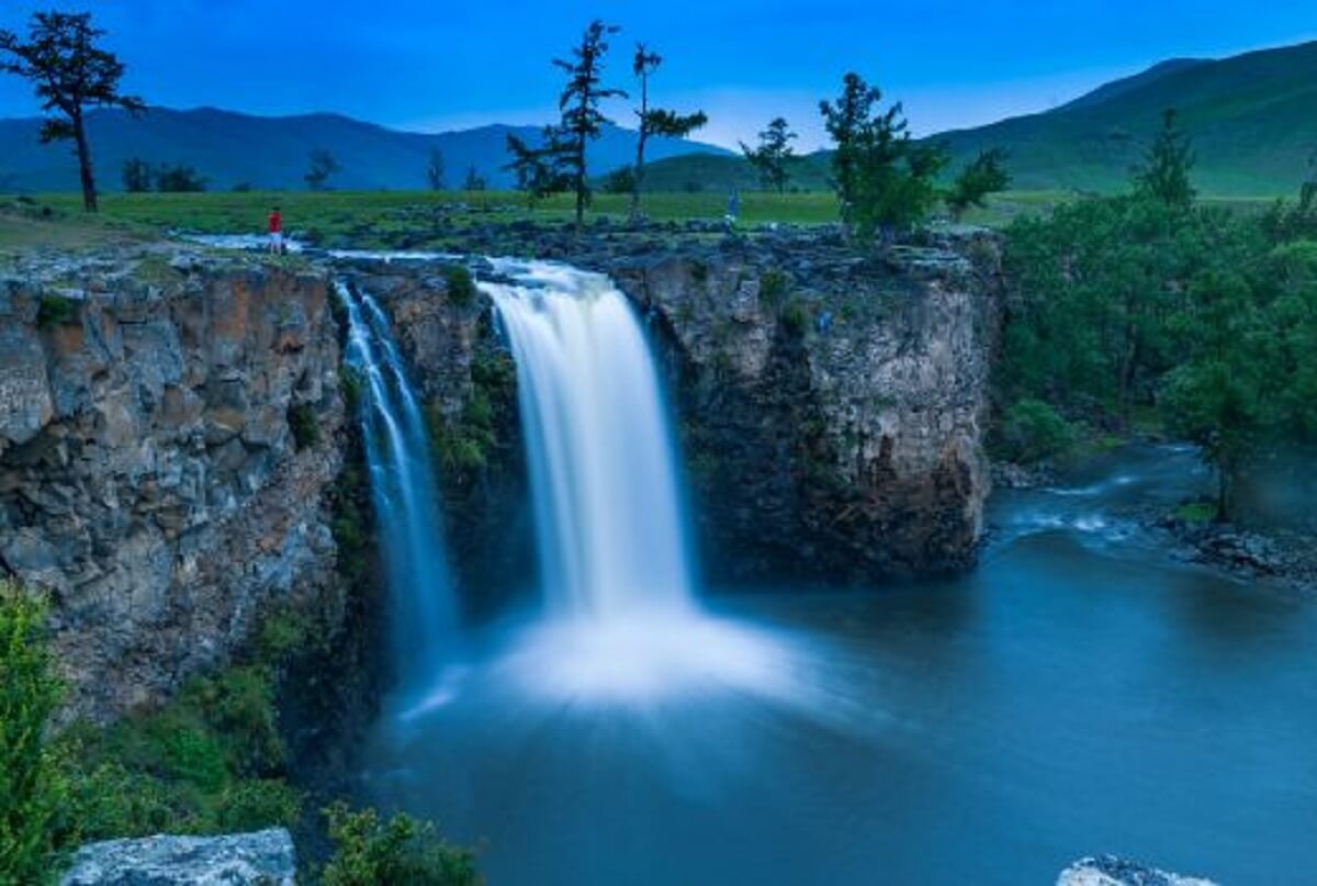
The Orkhon Valley, a UNESCO World Heritage site, showcases the region’s nomadic history and breathtaking landscapes.
Picture yourself gazing at the cascading waters of the Orkhon Waterfall, feeling the harmony of nature.
Bayankhongor
In the south-central region lies Bayankhongor, a province where nomadic life unfolds against a backdrop of vast steppe.
Engage with local herders, experience the hospitality of the nomadic people, and perhaps partake in a traditional Mongolian feast known as a “buuz” party.
Bayan-Olgii
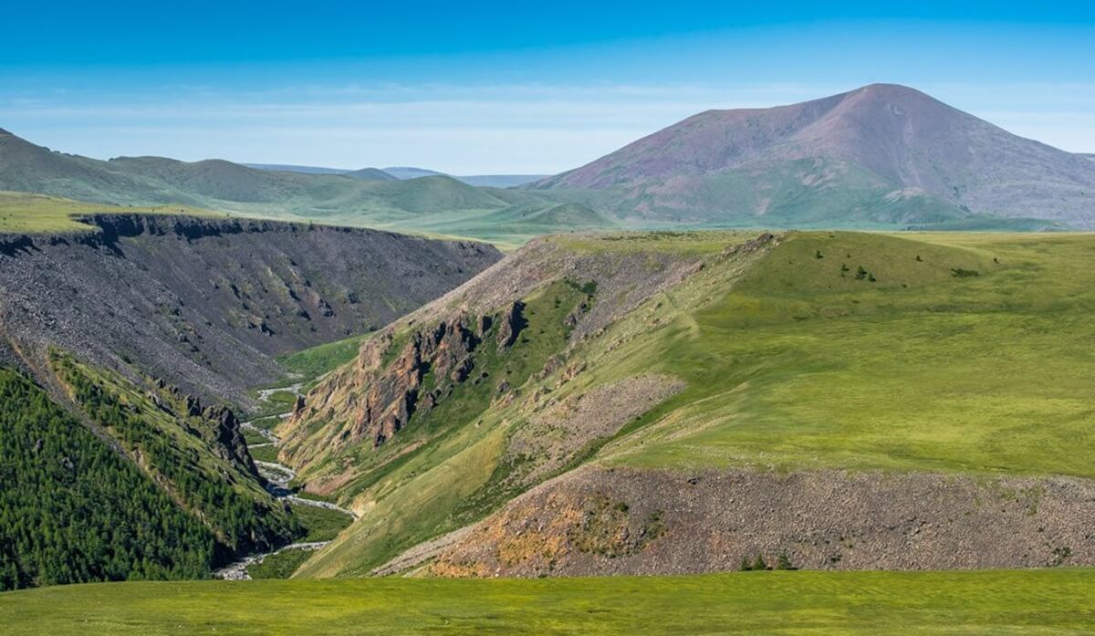
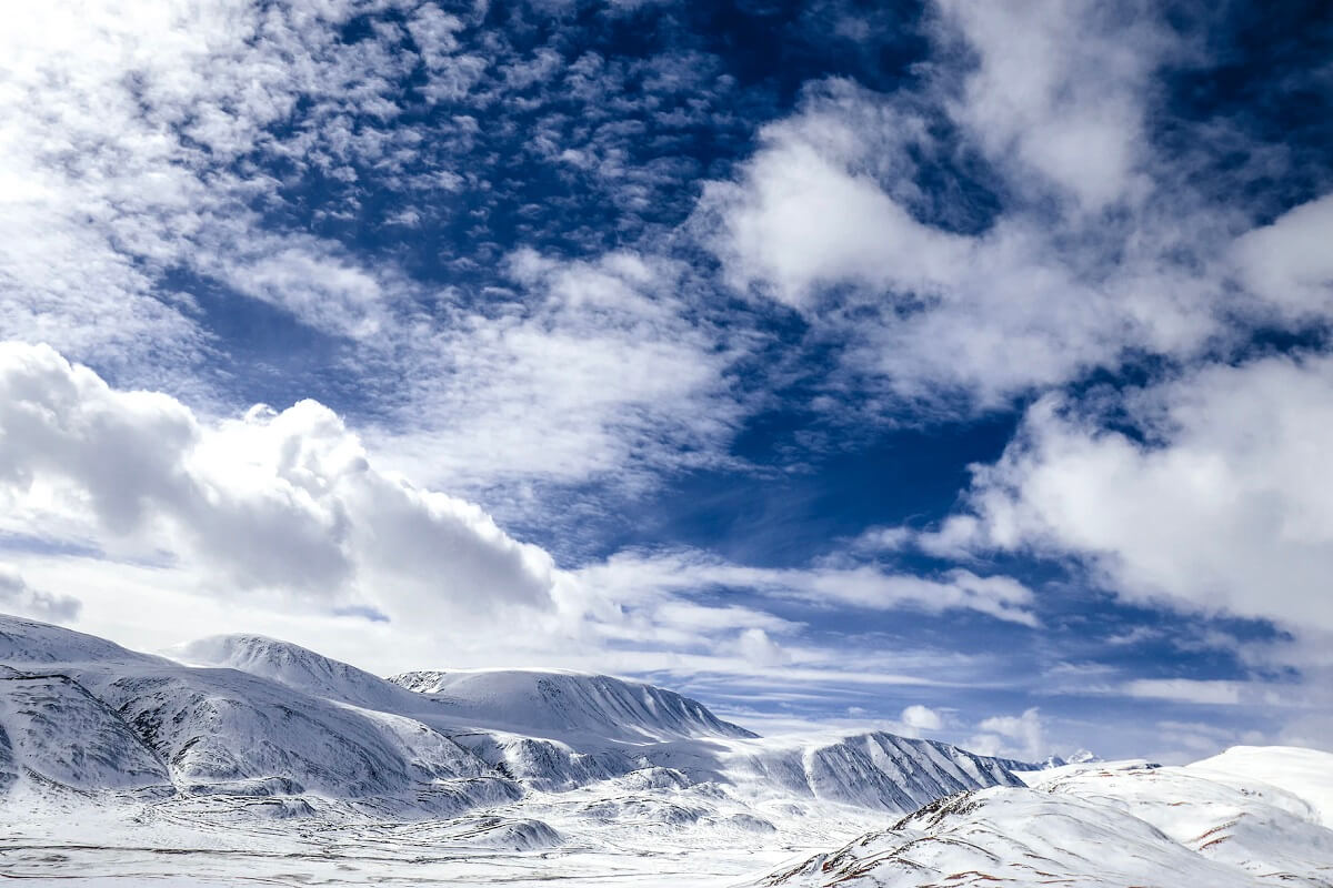
Bayan-Olgii province is 450 km from the Xinjiang Uyghur Autonomous Region of China along the ridge of the Altai Mountains to the west, 225 km from the Russian Altai Republic along the Siilkhem mountain range to the north, 165 km from the Uvs province to the east, and Hovd to the east and east. borders with the province for 450 km.
Bulgan
Bulgan province is located in the Orkhon Seleng basin in the central part of our country, and there are forested mountains such as Bulgankhan, Buregkhangai, Dulamkhan, Buteel, Khantai Darkhan Khan.
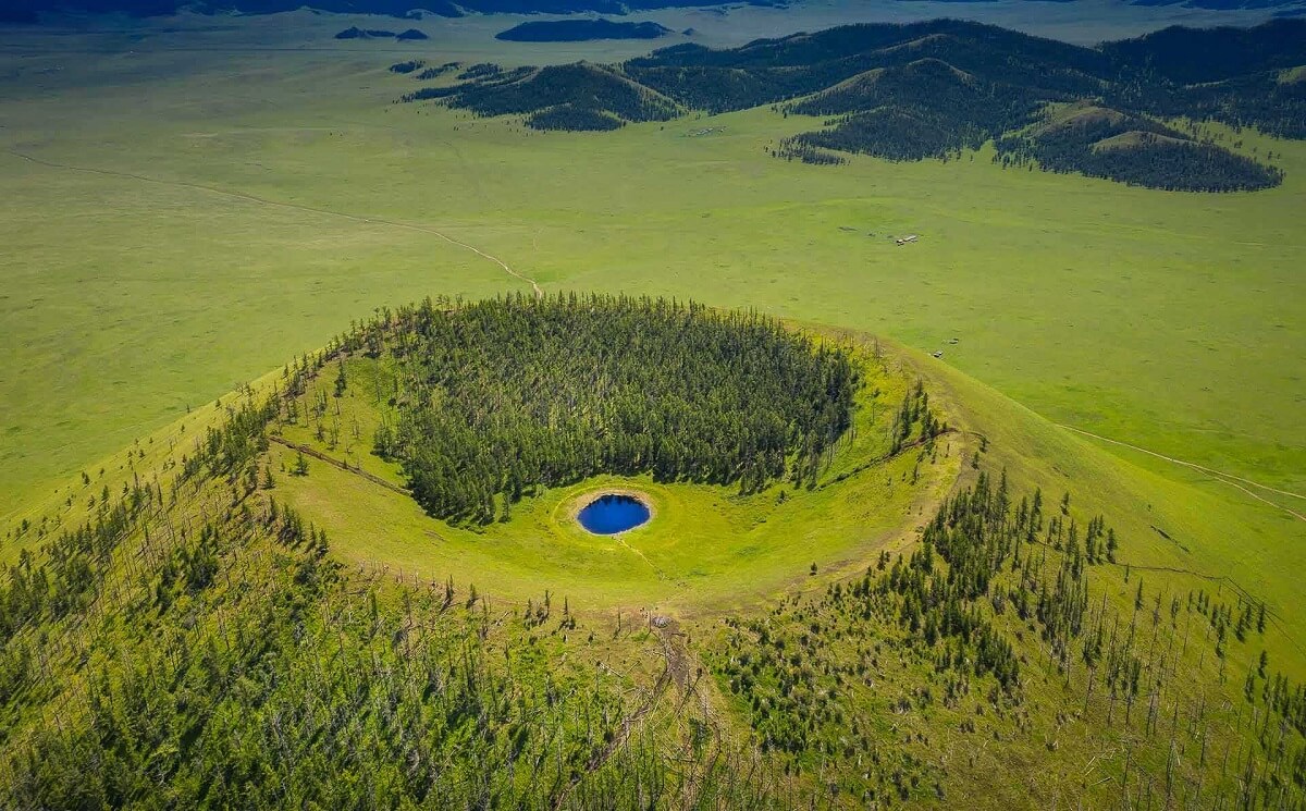
In the northern part of the area, the granite of the ancient Termolian era, the sediments of the middle and ancient Termolian era in the front part, the upper Permian, Tertiary, and Jurassic rocks in the middle part, as well as the mantle stone of the Quaternary era are widely distributed. Burkheer and Jalavch are protecting extinct volcanoes.
Gobi-Altai
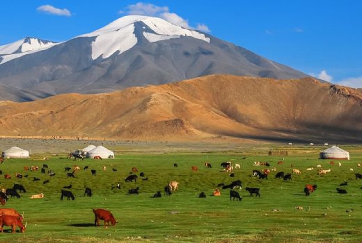
The Gobi-Altai province is located in the southwestern part of Mongolia, and the Mongolian Altai range runs through it from northwest to southeast.
There are high mountains such as Sutai, Burhan Buudai, Alaghairkhan, Ajbogd and Gichgene. Cenozoic sediments are also spread in major depressions such as Sharga, Biger, and Khuis, and the mountainous areas have Cambrian and Precambrian bedrock. There are minerals such as coal (Zeegt), precious stones (Golden Well), building materials.
Gobi-Sumber
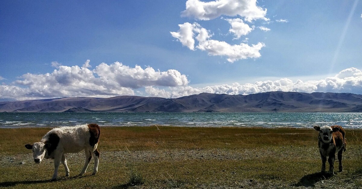
It is a province of Mongolia. It was established in 1994 and has an area of 5,540 km².
Dornod
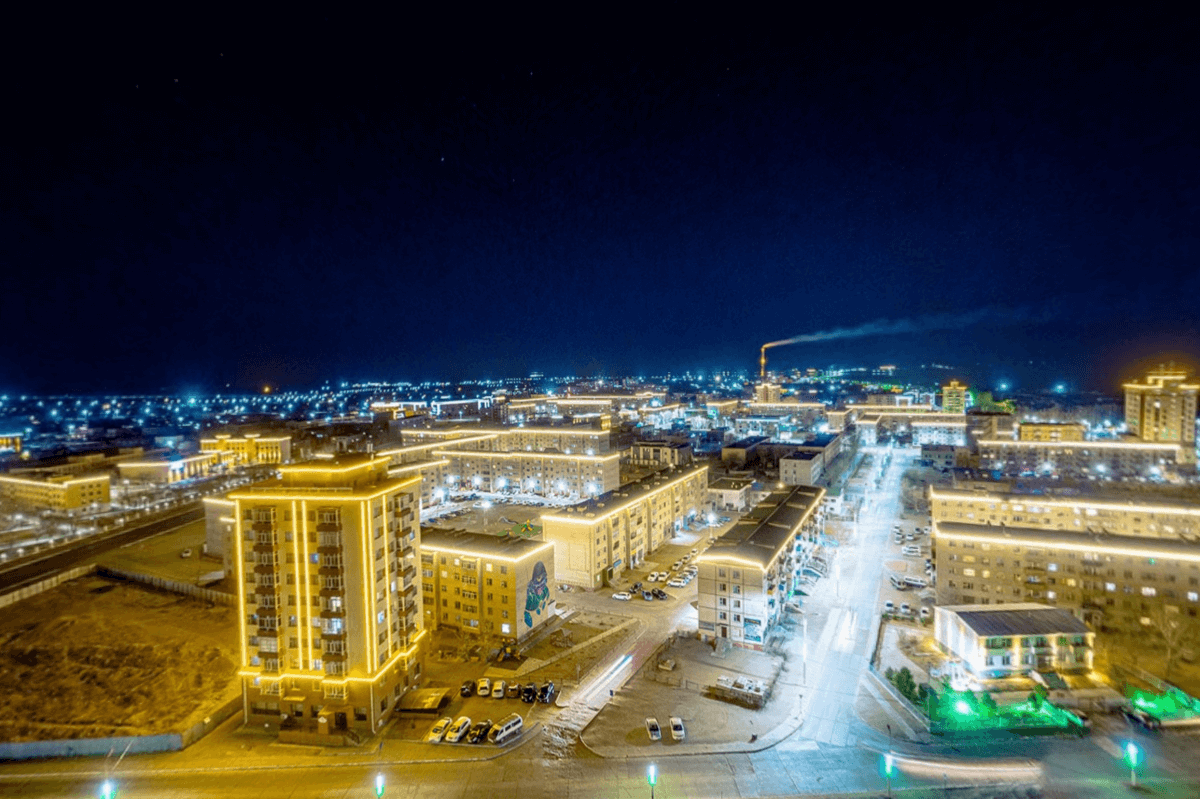
Our journey concludes in Dornod, Mongolia’s easternmost province, where the land meets the sunrise.
A realm of pristine nature and nomadic traditions, Dornod invites you to explore the wonders of the Onon-Balj National Park and witness the captivating spectacle of migratory birds at the Dornod Mongol National Park.
Dundgov
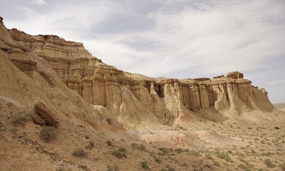
Dundgovi Province is located in the central part of Mongolia, in the region of Takhari, on the border of the Gobi steppe region.
The highest point of the region is Mount Delgerkhangai with a height of 1926 m. There are also mountains such as Ikh and Baga Land Stone.
Upper Paleozoic sediments are spread in the northern part of the region, and Cretaceous and Cenozoic sediments are spread in the southern part.
There are no big rivers and lakes in Dundgov province except Ong river. There are hot springs such as Togoi, Duren Harga, and Olgoi Lake.
Darkhan
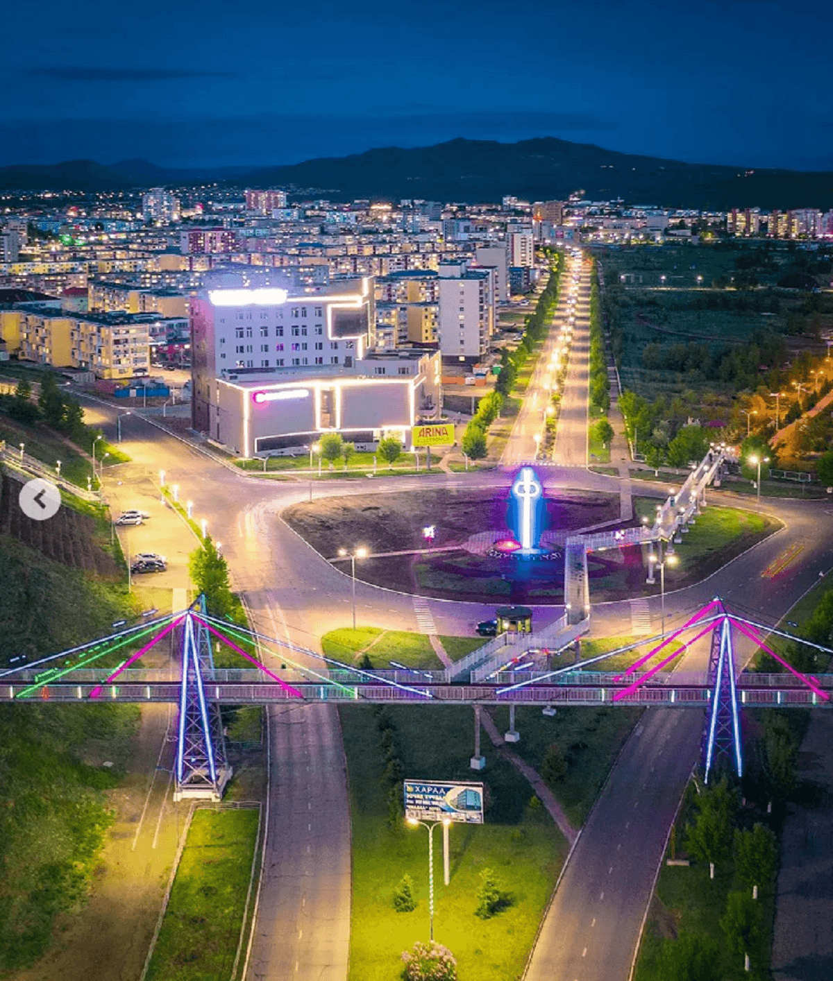
The first foundation stone of Darkhan city was laid in “Burkhant Valley” on October 17, 1961, which marked the beginning of Mongolia’s second largest city.
Darkhan City was built and developed with the technical and economic assistance of former socialist countries such as the Soviet Union, Bulgaria, Poland, Hungary, the Czech Republic, and East Germany.
Darkhan city belongs to the Orkhon and Seleng basins. The banks of the Khaara River are located in the Burhant Valley, at an altitude of 707m above sea level, with an area of 327.5 thousand hectares and an extreme climate.
Dornogovi
The capital of the province, Sainshand, is located 450 km from the capital city of Ulaanbaatar.
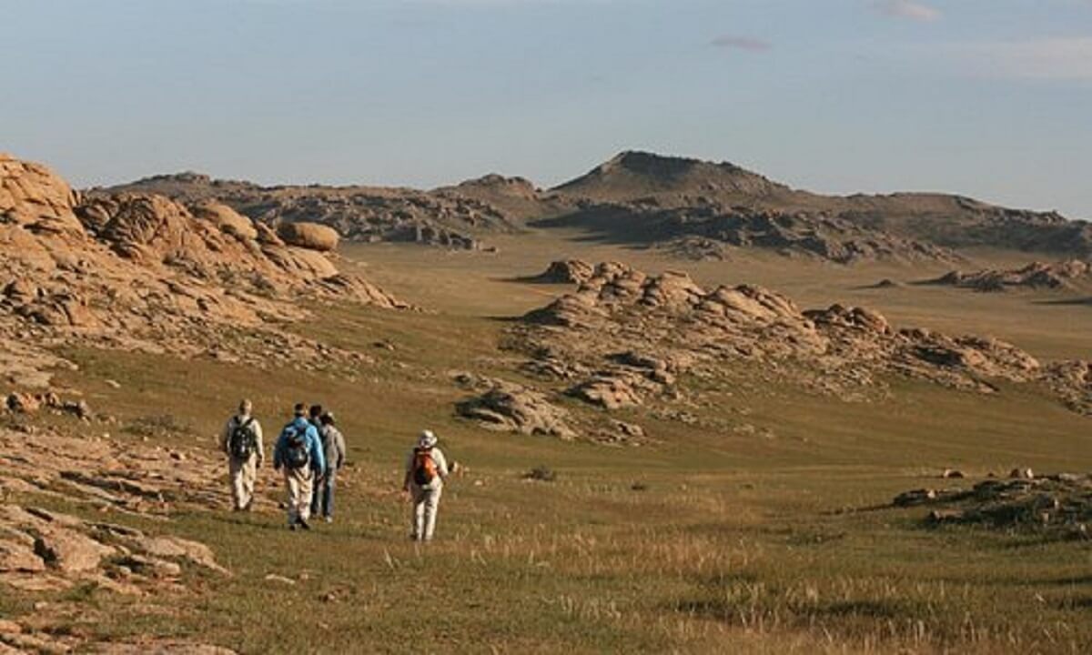
Dornogovi province is located in the south-eastern part of Mongolia, bordering with Umnogov, Dundgov, Govsumber, Khentii and Sukhbaatar provinces. It shares a 600 km border with China.
The railway, which is the main axis of the central region’s development, connects the northern and southern dynasties. 42.8 percent of all sums of the province and 54.8 percent of the population live along this road.
Zavhan
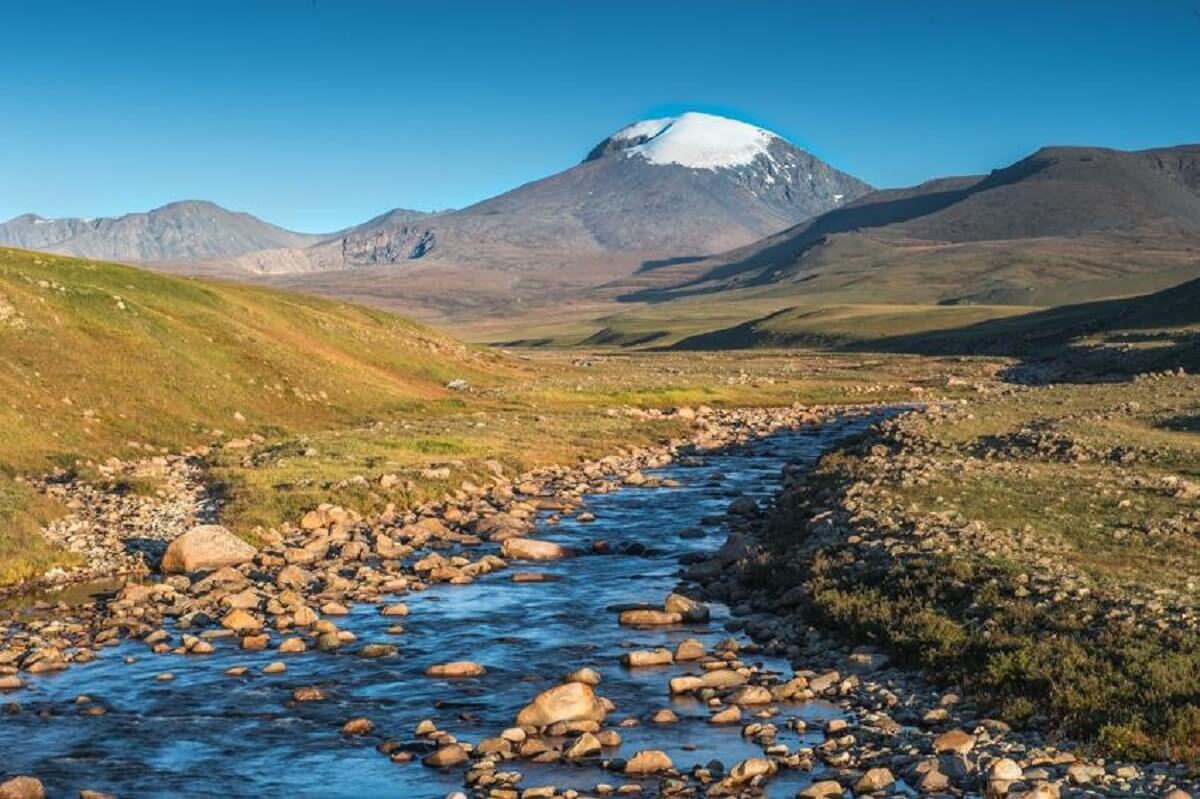
It is located in the northwestern part of Mongolia between 930 16′ to 990 12′ east longitude and 460 33′ to 500 23′ north latitude.
610 km from north to south, 520 km from west to east, and a vast area of 82.5 thousand km2, Zavkhan province is located in the northwestern part of the country, i.e. the western part of the Khangai mountain plateau, the eastern part of the depression of the Great Mountains, and the northern part of the branch mountains of the Mongolian Altai mountain range.
Orkhon
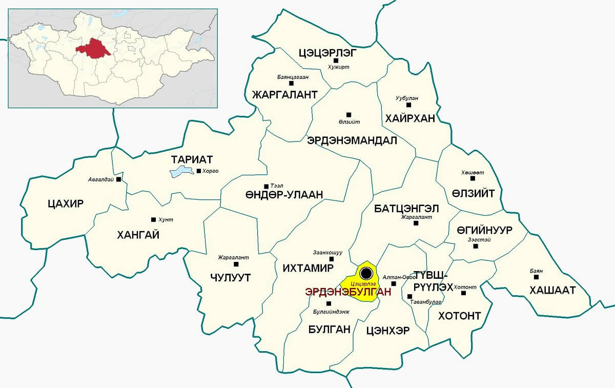
Orkhon Province was first established in 1976 as Erdenet City in Bulgan Province.
In 1994, Orkhon was reorganized into Bayan-Andur and Jargalant districts.

Ovorkhangai
The geographical navel-center of Mongolia is at the foot of the mountain called Ongon in Burd sum of the province.
In the northern part of the country, there are branch mountains of the Khangai Range, in the central part there are plains, and in the front part there are the branch mountains of the Altai Range and sandy plains.
The territory of the province covers 3 geographical zones, so it has great natural resources. It is located in majestic mountains and ranges that rise 2000-3590 m above sea level, such as Khyatruun and Bitut of the Khangai Mountains, Bagabogd and Miangan Yamaat of the Mongolian Altai Mountains.
Umnugovi
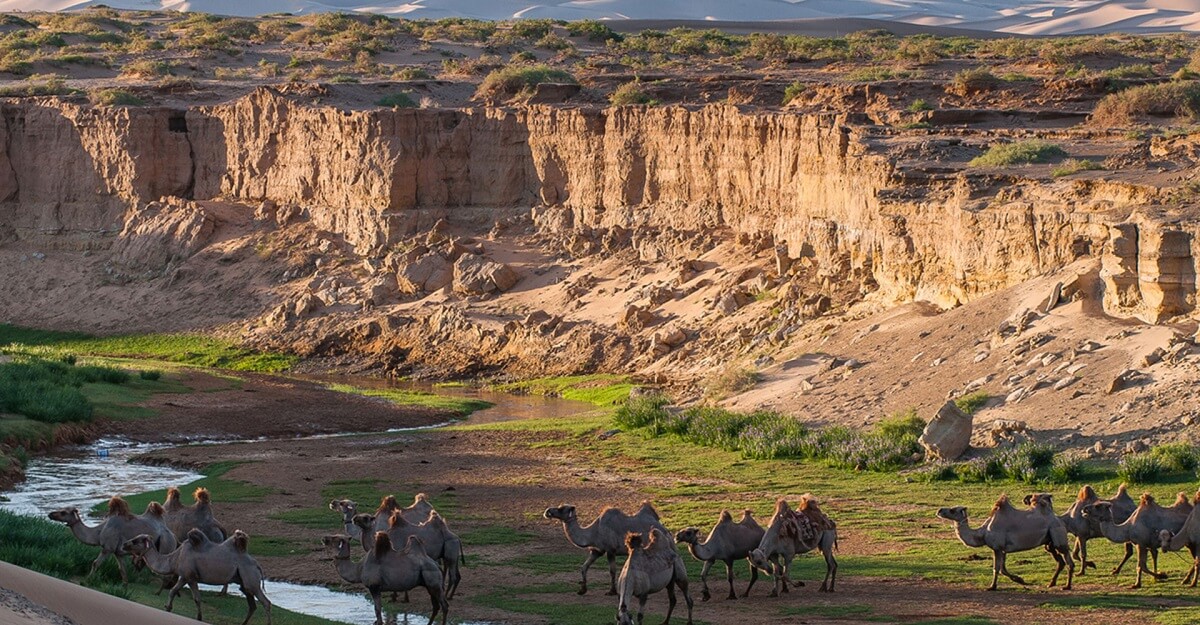
Umnugovi is the largest province in terms of land area. The territory of the province is included in the Gobi desert region, and the average d.t.d. It is located at an altitude of 1300-1600 m.
Here, the continuation of the Altai mountain range is Gurvan Dhalt, Sevrey, Noyon Bogd, Nomgon, Tost, Nemegt, Altana Mountain, Gilbent, etc.
In the mountains up to 3000 m high, there are the 100-km-long Hongor Sands and the famous 100-km-wide Galba, Borzon, Zeemeg, Zag, and Suoj mountains.
Sukhbaatar
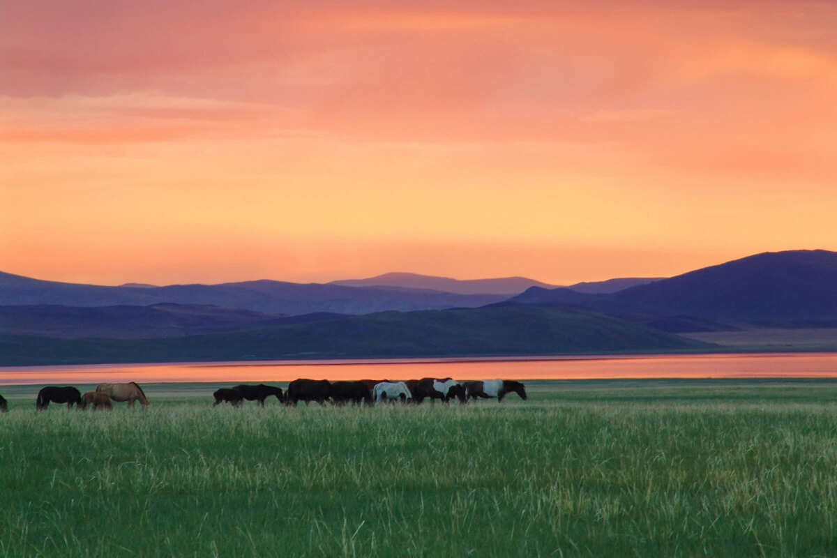
Before 1921, the territory of Sukhbaatar province was the territory of 6 provinces of Setsen Khan Province of Khalkh: Chin Van Cape, Dalai Van Cape, Yost Beys Cape, Erkh Gun Cape, Hurtsgav Cape, Yeguzer Khutagt Shavi Cape. It belonged to Khentii and Dornod provinces.
Selenge
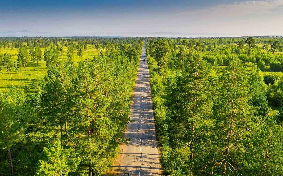
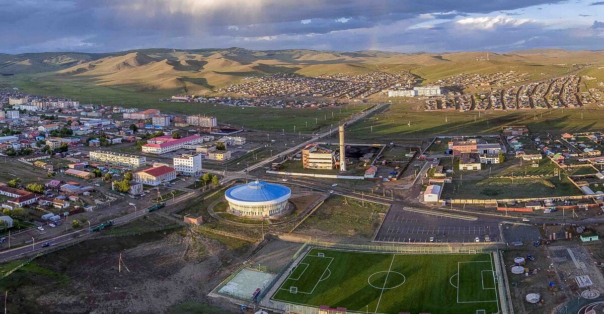
Selenge province is located in the northern part of Mongolia in the Orkhon Seleng basin, with medium mountains.
Jurassic sediments are spread in the northwestern part of the province, Hercynian granite in the southern part, and deep granite in the eastern part.
The province is rich in coal (Ulaantolgoi, Sharyn Gol), iron (Tumortei, Timurtolgoi), gold (Ikh Altat, Bugant, Boroo, Zaamar, Noyon uul, Tolgoi) and building materials.
Tuv
Tuv Province is located in the east-central part of Mongolia, covering an area of 74,042.37 km². It surrounds the Ulaanbaatar capital in the middle, and borders Khentii, Govsumber, Dundgov, Overkhangai, Bulgan, and Selenge on the other sides.
Uvs
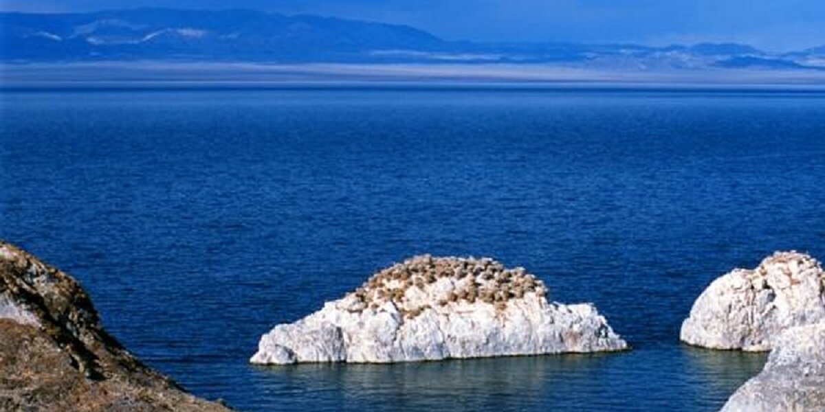
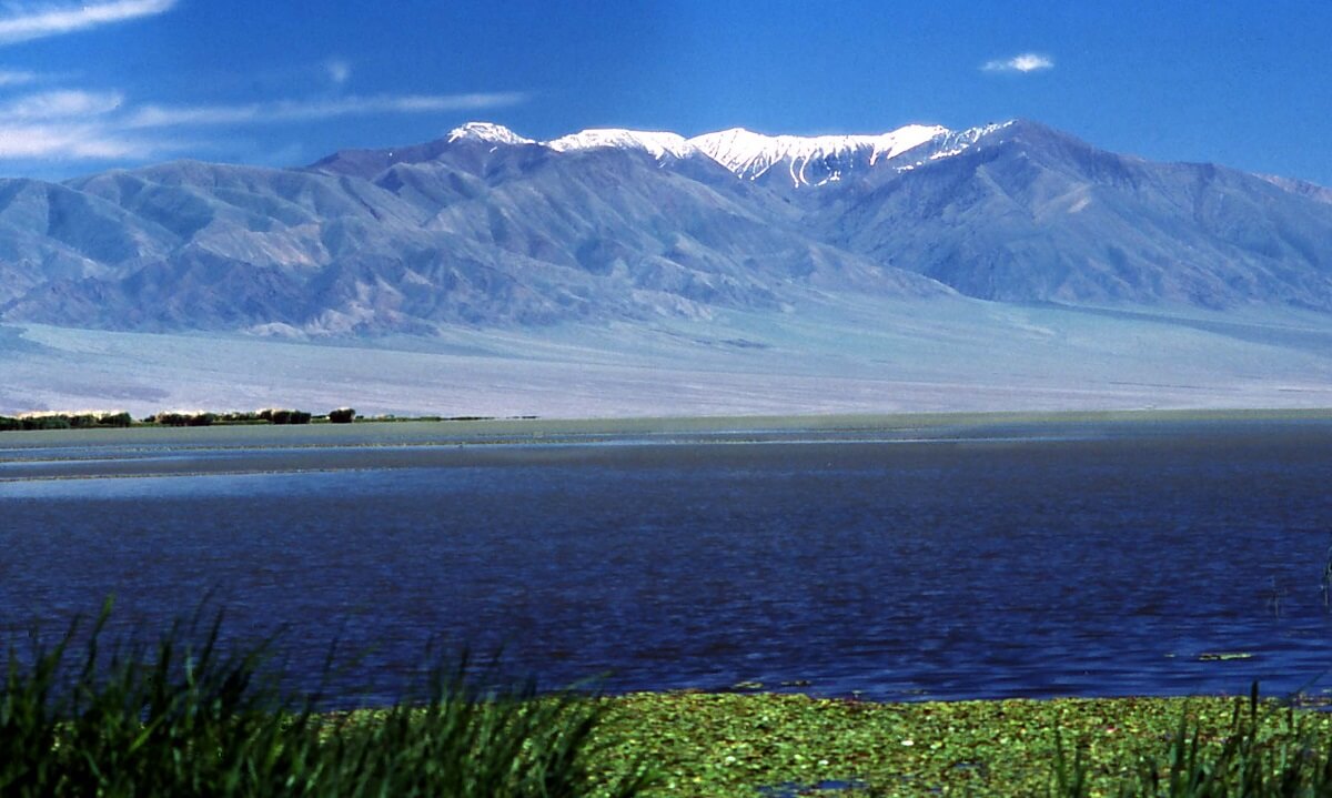
It is believed that in 1686, the Great Khan of Oira Mongolia, Galdan Bosih, built a canal from the Kharhiraa River and began to cultivate crops in the Uvs Lake depressions such as Gurvan Teel, Arsai, Miangan Bel, Khar Tologi, and Bor Nuep.
Hovd
Hovd Province is located in the Altai Mountains of Mongolian Altai. There are big mountains such as Munkhairkhan, Khokhserkh, Baatar Khairkhan, and Myangan Ugalzat.
Precambrian bedrock and Quaternary sediments are spread in mountainous areas. There is coal (Khondlen), tungsten (Bodonch), crystal (Ooshig water, Tsagaantolgoi) and a wealth of building materials.
Khovsgol
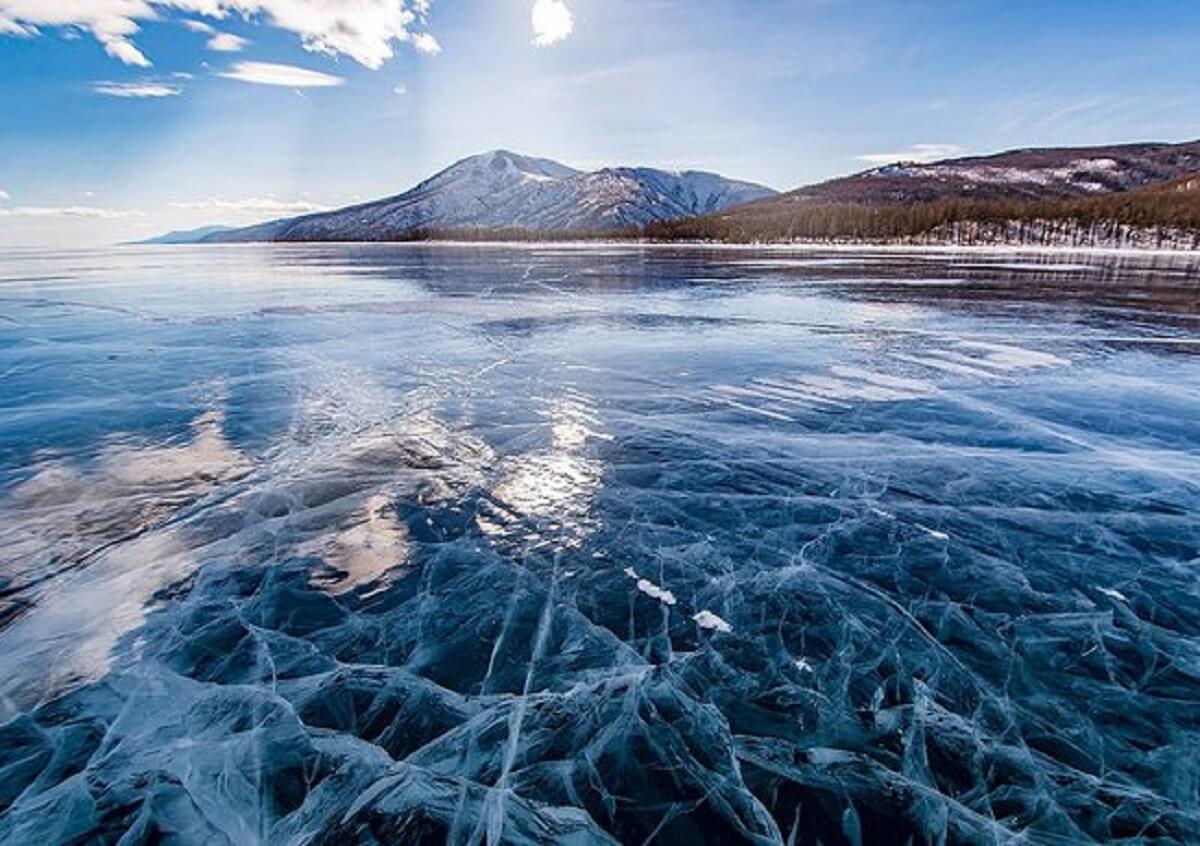
Khuvsgul Province is named after the deep blue Khuvsgul Lake and was founded in 1931. It borders with Bulgan, Arkhangai, and Zavkhan provinces, and borders with Russia, its Tuva, and Buriad states.
Murun, the provincial capital, is 671 km northwest of the state capital. Within the framework of the 1992 constitution, Khuvsgul province has 24 districts and 126 teams.

Khentii
Khentii province is located in the north-eastern part of Mongolia. Applies to the eastern region by zoning. In the north, it borders with the Russian Federation (Over Natural Limits).
Within the country, there are 6 provinces namely Dornod, Sukhbaatar, Dornogovi, Govisumber, Central and Selenge and the Baganuur district of the country’s capital.
In the western part of the province, the eastern tip of the Khenti range extends. In the back, there is Mount Khaldun, the state sacred mountain. The Onon River originates from the back of the ridge, and the Kherlen River flows across the south side of the province from the ridge.
As we traverse the Mongolian provinces, each corner reveals a piece of the nation’s soul.
From the bustling capital to the tranquil lakes, from the Gobi’s vastness to the cultural treasures of Kharkhorin, Mongolia beckons with a tapestry of experiences waiting to be unraveled.
So, pack your curiosity and sense of adventure, for the beauty of Mongolia awaits your discovery.

